![Item #015452 Colton's New Topographical Map of the States of Virginia, Maryland and Delaware, showing also eastern Tennessee, and parts of other adjoining states; all the Fortifications, Military Stations, Rail Roads, Common Roads and other internal improvements.; [Cover reads: Colton's Map of the States of Virginia, Maryland and Delaware...]. J. H Colton.](https://bluewhalebooks.cdn.bibliopolis.com/pictures/015452.jpeg?width=768&height=1000&fit=bounds&auto=webp&v=1607369738)
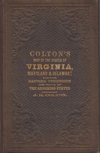
Colton's New Topographical Map of the States of Virginia, Maryland and Delaware, showing also eastern Tennessee, and parts of other adjoining states; all the Fortifications, Military Stations, Rail Roads, Common Roads and other internal improvements.; [Cover reads: Colton's Map of the States of Virginia, Maryland and Delaware...]
New York: J.H. Colton, 1864. Brown pebbled cloth cover stamped in blind and gilt is in pristine condition. 82 x 110 cm unfolded; 10 x 16 cm folded. Full original hand coloring on onion-skin paper. Professionally repaired tear around section attaching to the board, and extending beneath the cartouche (hardly noticeable from the front), minor spotting beneath the cartouche. Note that this is not backed with linen as some folding maps are; the paper is nearly onion skin and while not brittle is fragile. We do not recommend that it be flattened for framing. Very Good. Item #015452
A highly important folding pocket map to be used in the field during the Civil War, in extraordinary condition. LC Civil War Maps 48.2. OCLC lists only five locations for the 1864 edition: LC, Yale, Penn State, Library of Virginia and Wake Forest. Americana Exchange records only one auction record in the last 15 years, and only two before that.
Price: $1,950.00