![Item #418925 Carte de la Partie Inférieure de l'Inde en de çà du Gange, contenant l'Isle de Ceylan, les Côtes de Malabar et de Coromandel avec le Pays compris entre ces Côtes [Map of the Lower Part of India on this side of the Ganges, containing the Island of Ceylon, the Coasts of Malabar and Coromandel with the Country between these Coasts] [Asia] [Sri Lanka]. Rigobert Bonne.](https://bluewhalebooks.cdn.bibliopolis.com/pictures/418925.jpg?width=768&height=1000&fit=bounds&auto=webp&v=1620256725)
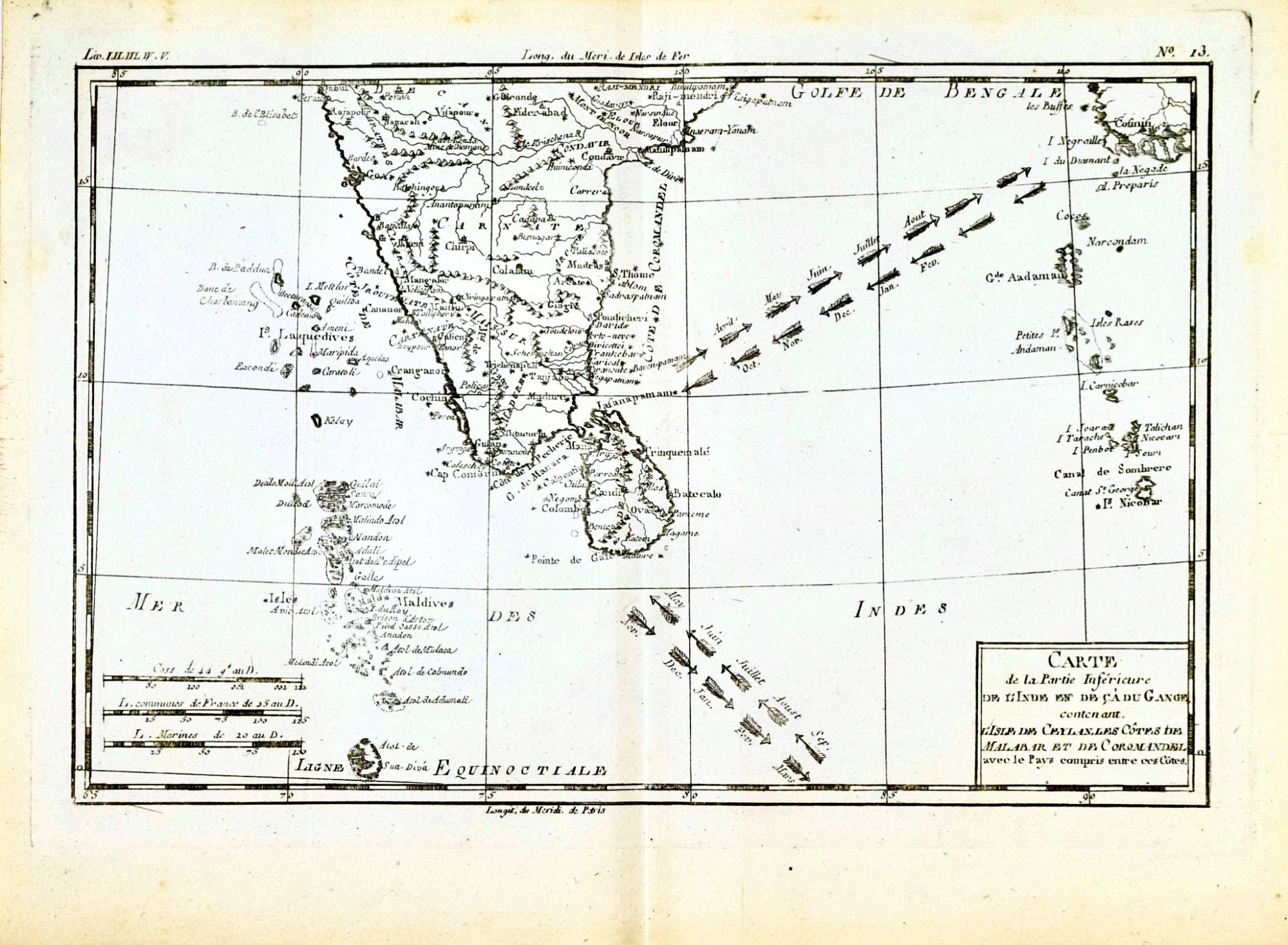
Carte de la Partie Inférieure de l'Inde en de çà du Gange, contenant l'Isle de Ceylan, les Côtes de Malabar et de Coromandel avec le Pays compris entre ces Côtes [Map of the Lower Part of India on this side of the Ganges, containing the Island of Ceylon, the Coasts of Malabar and Coromandel with the Country between these Coasts] [Asia] [Sri Lanka]
Geneve: Jean-Leonard Pellet, 1780. Copper Engraving. Image 8.25" x 12.25"; sheet 10.25" x 14" From Raynal's Histoire Philosophique et Politique. Center fold as issued. Very Good. Item #418925
Always securely packed and dispatched rapidly. Professional sellers of antiquarian books, maps and prints since 1994. Satisfaction guaranteed.
Price: $150.00
See all items in
Maps
See all items by Rigobert Bonne